
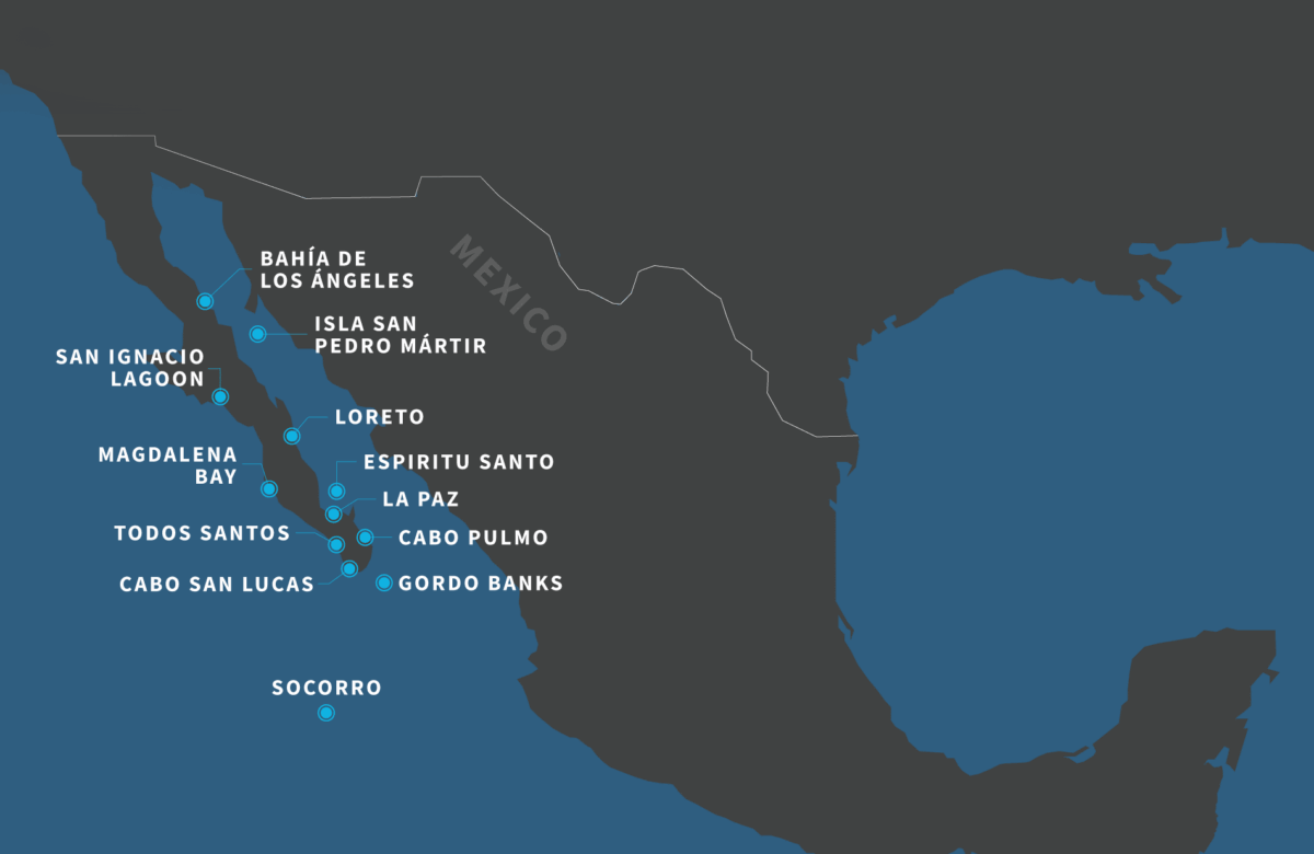
Baja Mexico Map: Discover the Baja California Peninsula
Baja Mexico Map: 4 Things to Know
- Two states, one spectacular peninsula: Baja California and Baja California Sur stretch approximately 760 miles (1,220 km) from the US border to Cabo San Lucas.
- Two very different coastlines: The Pacific Ocean lies to the west, the Sea of Cortez to the east, creating an extraordinary variety of marine habitats.
- Wildlife hotspots worth exploring: From gray whales in San Ignacio Lagoon to sea lions, blue whales, and mobula rays in the Sea of Cortez, Baja is packed with incredible encounters.
- Pack for time on the water: Bring layers, sun protection, comfortable footwear, and a waterproof outer layer. A camera and binoculars are useful extras, too.
Looking at a Baja Mexico Map, you’ll see a remote corner of Mexico dotted with mountain ranges and deserts. Up close, it’s a place where travelers can discover nature and culture in one unforgettable journey. Come with us as we explore Baja California’s most extraordinary destinations and wildlife.

Baja California Map: The Peninsula’s Unique Geography
Baja California is the second-longest peninsula on Earth! A glance at the map of Baja California shows it stretches 760 miles (1220 km) south from the US border until it tapers off into turquoise waters around Cabo San Lucas. The peninsula is divided into two Mexican states: Baja California to the north, and Baja California Sur to the south.
Baja California Sur is the wild one. Here, visitors are spoiled by dramatic geography and scenic landscapes. Rugged mountains dotted with woodlands open up to desert plains, which melt into its contrasting coastlines. On the Pacific side, waves crash on remote beaches and pool in sheltered lagoons. To the east, the Sea of Cortez boasts calm, nutrient-rich waters that teem with life. Its diversity makes it so remarkable. On a Baja California map, you just see a stretch of land — but in reality, it’s a patchwork of ecosystems.

Diverse Habitats and Wildlife of Baja California Sur
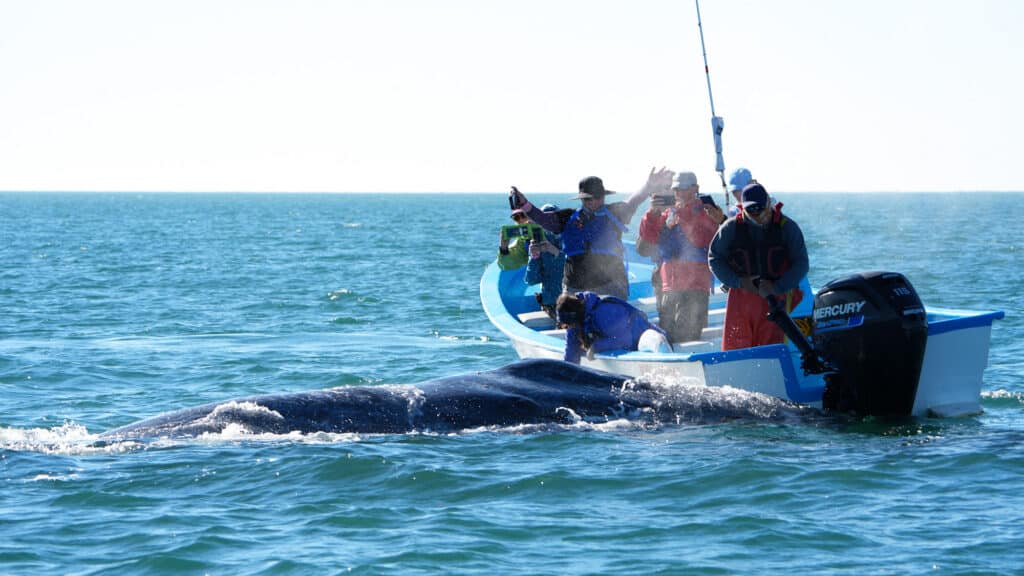
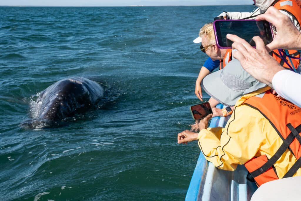
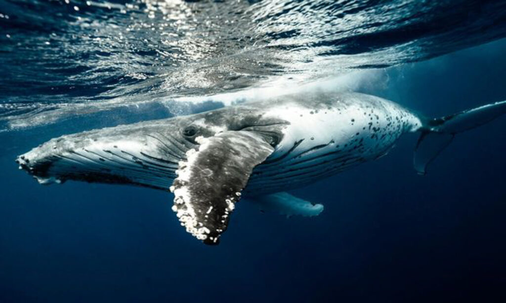
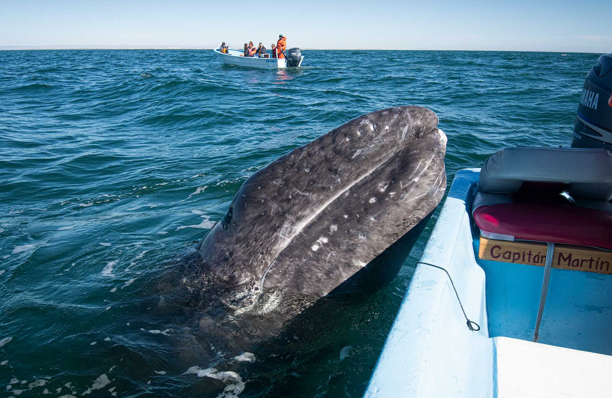
There are many options for wildlife and whale watching tours in Baja California Sur. It’s truly a paradise for wildlife lovers. The star attraction is the gray whale, which returns every year to breed, give birth, and nurse its calves. Some of the world’s most important whale sanctuaries are home to gray whales. Every year, they migrate to give birth and nurse their calves in protected spots, such as San Ignacio Lagoon — one of the world’s most important whale sanctuaries. San Ignacio Lagoon whale watching is particularly unique because some grays often swim close to the boats, seeking interaction with visitors.
Wildlife Hotspots on the Baja Mexico Map
The gray whales are just the beginning… On a habitat map for Baja Mexico, you’d see how rich and varied the region is:

Wetlands and Mangroves:
Epic Birdwatching
The Baja California Peninsula is a key place on the map for birds following the Pacific Flyway. The region’s wetlands and mangroves provide vital feeding and resting areas for many migratory and resident birds. Herons, egrets, ospreys, gulls, and terns, to name a few.
Trust us, there’s enough to keep even the most experienced birdwatchers entertained!

Remote Pacific Islands
The Socorro Islands lie 400km (250 miles) off the southern tip of Baja California. The islands can only be visited by liveaboard and are so remote they almost fall off the Baja Mexico map. Socorro is a favorite among divers with giant mantas, dolphins, and sharks on almost every dive!

National Marine Parks:
The Sea of Cortez is often called “The Aquarium of the World” because of its astonishing biodiversity. It’s a thriving marine ecosystem supported by nutrient-rich waters, protected UNESCO World Heritage sites, and strict marine park regulations.
Did you know that 39% of all the world’s marine mammal species can be found here? It’s home to whales, dolphins, and sea lions. Plus, hundreds of fish species, some of which are endemic (totally unique to the area).

Baja California’s Deserts and
Mountainscapes
The desert and mountainous habitats of Baja California are strikingly diverse. These arid landscapes might look stark at first, but they support a surprising range of wildlife. Desert bighorn sheep and mule deer navigate steep rock faces, and coyotes roam across the plains. In the mountains, pine-oak forests provide refuge for bobcats, pumas, and endemic birds like Xantus’s hummingbird.
Together, these desert and highland ecosystems form a dramatic backbone to the Baja Peninsula Map.
Top Activities to Pin on Your Baja Mexico Map
Any map of Mexico’s Baja Peninsula is dotted with exciting destinations to suit every type of vacation, season, and budget. Here are some of the best adventures to be had in Baja California Sur — whether on land, sea, or lagoon.
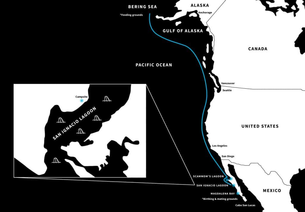
San Ignacio Lagoon Map: Best Whale Encounters on Earth
This map of Baja Mexico, and North America shows the annual migration route of gray whales. Sure, there are a few places along the way for good whale watching, but none truly compare to San Ignacio Lagoon.
What really puts San Ignacio on the map is the chance of close-up encounters with its “friendly” gray whales…
Imagine a 40-ton whale mother introducing you to her newborn, car-sized baby… Incredible!
The Sea of Cortez: Incredible Ocean Safaris & More

The Sea of Cortez — perfect for snorkeling, diving, whale watching, and ocean safari excursions.
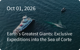
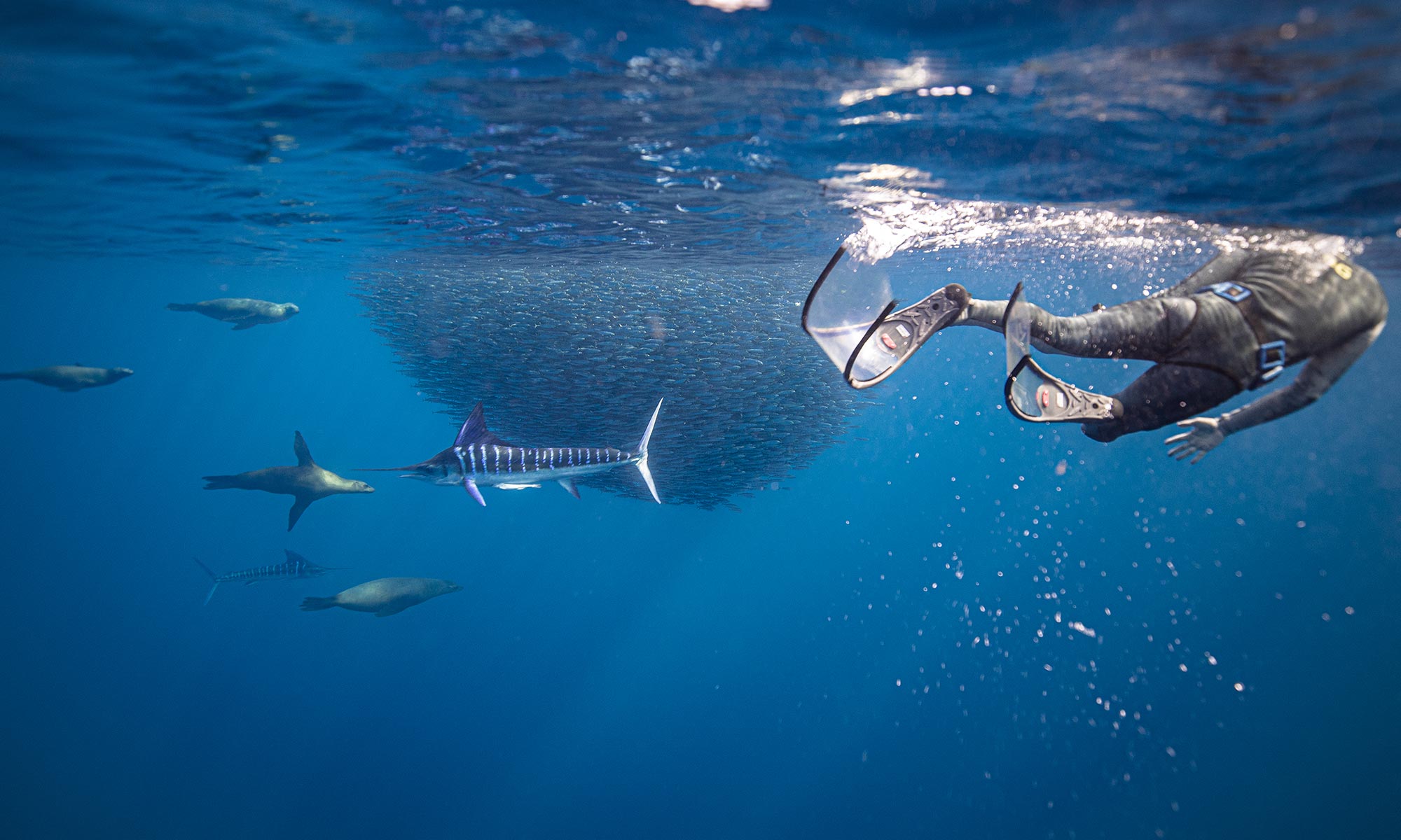
Sea lions lounge on rocky islands, pods of dolphins play, humpbacks breach, and the elusive blue whale glides through the water. This is just some of the spectacular wildlife you could see on an ocean safari here. Mark Loreto or La Paz on your travel map as ideal departure points.
(Top tip for families: one of the best ways to explore is by sailing the Sea of Cortez, combining tranquility and family fun!)
Baja California Sur Map: Magdalena Bay Sardine Run

Another place to add to your bucket-list map for Baja California is Magdalena Bay because of its epic annual sardine run. By road, it’s a 5-6 hour drive northbound from Cabo San Lucas to Magdalena Bay, and the journey is worth every moment.
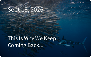
Every fall, the waters off Baja California host one of the largest sardine gatherings on the planet! The enormous bait balls attract incredible marine predators such as marlin, dolphins, and whales.
It’s a thrilling showcase of predator vs. prey and some of the top snorkeling in Mexico.
Why Travel with Baja Expeditions: Experts & Eco-Camps
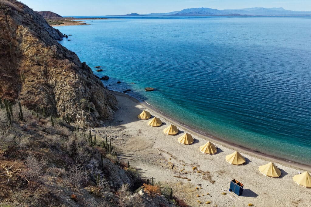
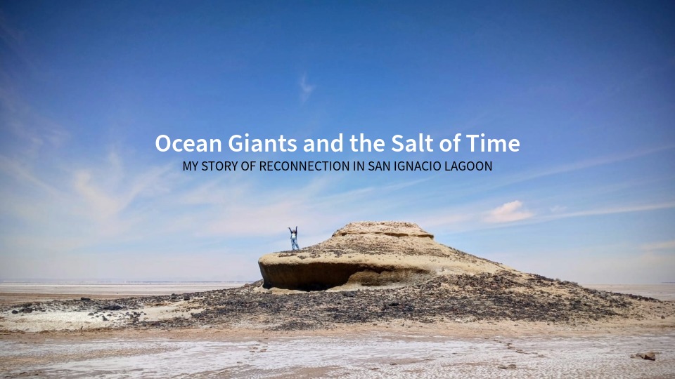
For over 35 years, Baja Expeditions has been a pioneer in eco-tourism and conservation in Baja California Sur. At San Ignacio Lagoon, our eco-camps provide low-impact stays right on the water, without compromising on luxuries and comfort! Guests can fall asleep to the sound of whale spouts in the distance and wake up to a desert sunrise.
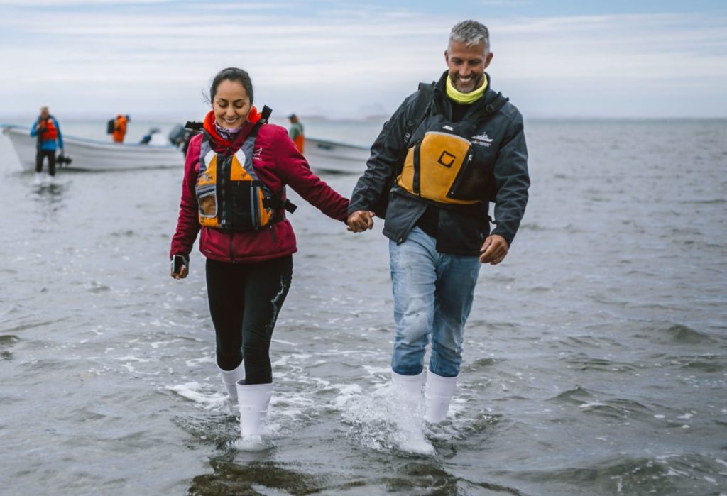
Our local guides and naturalists share not only their knowledge of wildlife but also their deep connection to the land and sea. This upcoming season, there’s going to be more naturalist-guided activities than ever before. With Baja Expeditions, you don’t just see Baja California Sur — you experience it in a meaningful, sustainable way.
Frequently Asked Questions About Baja Mexico
A Baja Mexico map shows two Mexican states: Baja California in the north and Baja California Sur in the south. Baja California’s capital is Mexicali, while La Paz is the capital of Baja California Sur. The two states are divided by the 28th parallel, roughly halfway down the peninsula.
Key places to locate include Tijuana, Ensenada, and Mexicali in northern Baja, followed by Guerrero Negro, Loreto, La Paz, Todos Santos, and Cabo San Lucas further south. Nature lovers should also look for San Ignacio Lagoon, Magdalena Bay, and the islands of the Sea of Cortez, all known for exceptional marine wildlife.
Baja is a year-round destination, but the best time to visit depends on what you want to experience. Winter and spring bring migrating whales, including gray whales, humpbacks, and blue whales, while autumn and winter offer spectacular sardine runs and excellent marine wildlife encounters. Summer is generally warmer and quieter.
Depending on the season and location, visitors to Baja California can see migrating gray whales, blue whales, humpbacks, whale sharks, sea lions, dolphins, and mobula rays. San Ignacio Lagoon is particularly famous for its gray whale encounters. Read our complete guide to planning a whale watching trip in Baja for more information.
Mexico’s Federal Highway 1, also known as the Transpeninsular Highway, is the main road running the length of the Baja California Peninsula. It connects Tijuana in the north with Cabo San Lucas in the south, passing through numerous towns and coastal destinations along the way. It’s an important route for anyone planning a Baja road trip.
The best airport depends on which part of the Baja California Peninsula you want to explore. Los Cabos International Airport (SJD) is convenient for Cabo San Lucas and southern Baja, while La Paz (LAP) and Loreto (LTO) provide access to other parts of Baja California Sur. Tijuana (TIJ) serves northern Baja.
Packing for a Baja glamping adventure means balancing outdoor practicality with a little comfort. Lightweight clothing, sun protection, comfortable footwear, a reusable water bottle, and a light layer for cooler evenings are useful starting points. Requirements vary depending on your camp and itinerary, so check out our Baja glamping packing list before you go.
Plan Your Next Adventure
From desert peaks to whale-filled lagoons, Baja California Sur is a place where geography, culture, and wildlife come together in spectacular ways. A Baja Mexico Map may show roads and borders, but it can’t capture the stunning scenery or the thrill of close-up wildlife encounters.
Join Baja Expeditions for a journey to San Ignacio Lagoon and beyond, and discover why this remote corner of Mexico is such an extraordinary place!
👉 Let us help plan your next adventure & bring the map to life

By Baja Expeditions Crew
The Baja Expeditions crew is the heart and soul of every journey. With decades of hands-on experience in marine biology, guiding, and local ecology, our passionate team shares their knowledge and love for Baja California in every blog post.
View Baja Expeditions Crew